Protecting our Heritage
Photo Credit: William Helms
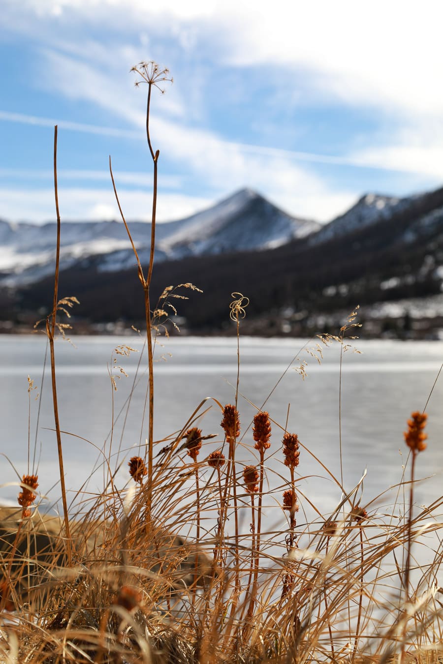
Protecting our critical viewshed is an important part of GARNA’s work, and part of that is preserving and celebrating our rich history.
Heritage Programs
Chaffee County Heritage Advisory Board
The board was created to provide advice and assistance on matters associated with planning an implementation of the Heritage Area Program and revisits the stories of the land and the people who once stood where we stand. GARNA holds an integral role on the board as administrator, and was a key player in the 2023 Collegiate Peaks Scenic & Historic Byway Conservation Corridor Plan Update. Designated in 2005, the Collegiate Peaks Scenic and Historic Byway is Colorado’s 25th official byway. The Heritage Board also produces and interactive map of Historic Registries.
Stage & Rail Historic Route
The Leadville to Salida Stage & Rail Historic Route follows the historic stagecoach road and railroad corridors. The route parallels the Arkansas River through 70 miles of diverse and stunning landscapes. The route is a mix of paved highway, dirt roads and non-motorized trails.

Chipeta Agents of Discovery
In partnership with the US Forest Service – Salida Ranger District, GARNA created the Chipeta Agents of Discovery Mission. Agents of Discovery is a educational technology platform that provides interactive way to get outside and learn about the surrounding landscapes. The Chipeta Mission takes place at Mountain Heritage Park on Tenderfoot Mountain to learn about Chipeta, who was an important Native American historical figure in the valley.
Latest GARNA News
In this episode, we sit down at a beaver lodge with local author Ben Goldfarb, and his dog, Kit, to gab about beavers, mule deer, road kill and more!...
The GARNA volunteer chapter, Friends of Fourmile, has recently been working with the BLM and National Forest Foundation to improve management of...
GARNA Renews the Brett Beasley Memorial Scholarship Local students pursuing careers in outdoor recreation and natural resource management have a...