Friends of Fourmile
Balancing Good Stewardship with Quality Recreational Opportunities
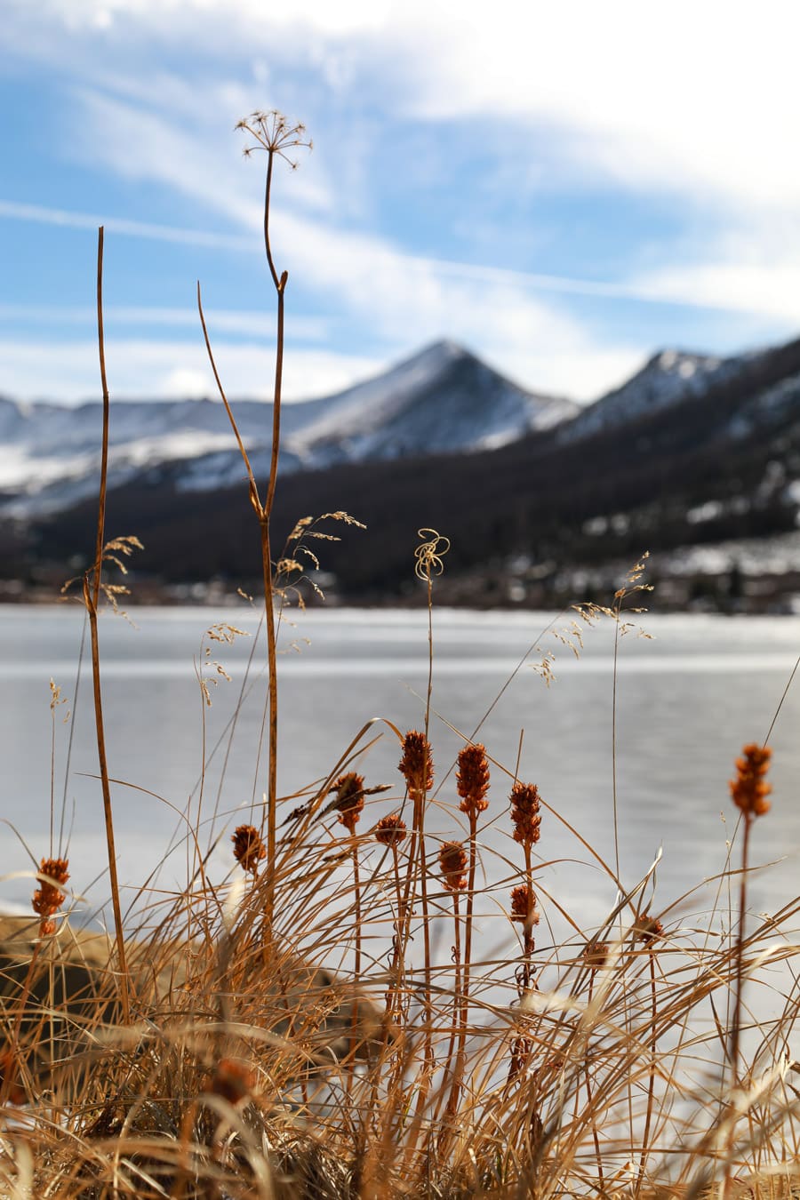
Photo Credit: Davis Meadow
Our Mission
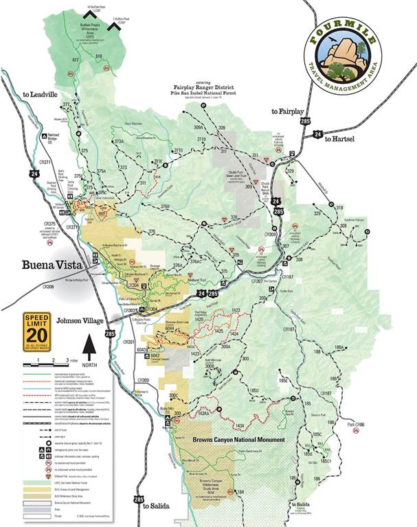
Implementing the Fourmile Travel Management Plan
Friends of Fourmile chapter of GARNA consists of volunteers from the motorized and non-motorized recreational communities who have special concern for the 100,000 acre Forest Service/BLM area in northern Chaffee County called the Fourmile Travel Management Area. The overall goal is good stewardship of the land’s resources (meaning a minimum of direct and indirect impacts) and maintenance of a balance among various recreational uses.
Visitor Use Trends (They're Up!)
The FoF annual survey has created a database that is probably more comprehensive and detailed than any available for other Forest Service or BLM areas in Colorado, largely due to the survey’s nine-year span, covering virtually all of Fourmile’s 220+ camping sites and 130+ miles of two-track roads in in a single 5-6 hour period. The annual survey allows the Friends group and the two public lands agencies to identify resource problems and issues and on-going or potential conflicts between users. It is a powerful tool that will aid in eventually revising the joint Travel Management Plan for Fourmile. Take a look at some of the data yourself!
After conducting annual Memorial Day surveys for nearly a decade, the not-surprising conclusion is that overall visitation in Fourmile on that peak weekend has increased considerably in 2017-at least doubled! Although visitation is much less on other weekends, and even less during the week, proportionately similar overall trends have occurred. OHVs (ATVs and motorcycles) use increased including the wider multiple passenger OHVs known as side-by-sides. Campsites associated with OHV use have increased in total number and existing campsites expanded as much as five-fold. Use by mountain bikes on the expanding trail system and camping associated with biking, as well as general hiking, has also increased.
Monitoring Use in the Digital Age
Over 14 years, the Friends gathered extensive data on the area's natural resources, roads, campsites, and areas of special concern. Keeping track of this information for updates and sharing with partner agencies proved challenging. This past year, we've begun using platforms like Google Earth to visualize the data. This allows us and our partners to quickly see issues and areas needing management adjustments. We're currently working on accurately mapping all official system routes, spur roads, trailheads, private lands, motorized and non-motorized trails, special features and camping sites. Here’s one example of a layer of information we can display: all the known 220+ camping sites.
Updates of Brochures and Kiosk Entry Maps
The Friends significantly support the Forest Service and BLM by creating and updating information about Fourmile. Friends with design, photography, writing, and editing expertise volunteer hundreds of hours, under agency supervision. In 2017, major revisions were made to the Fourmile brochure and all three entry/trailhead maps. This resulted in 18,000 brochures (lasting three seasons) and updated maps in over 16 locations.
Friends of Fourmile Updates
Midland Bicycle Trail Signs Refreshed
Although several local volunteer and Buena Vista Town groups are involved with the 18-mile-long Midland Bike Trail, for more than 13 years the Friends have been providing the signing, mapping, and brochures. The summer of 2017 saw an overdue replacement of some 30 distinctive logo trail markers, repainting of posts, and annual brush trimming.
Major Fourmile Trails Rerouted – New Trails Proposed
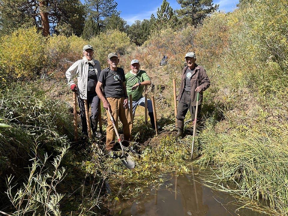
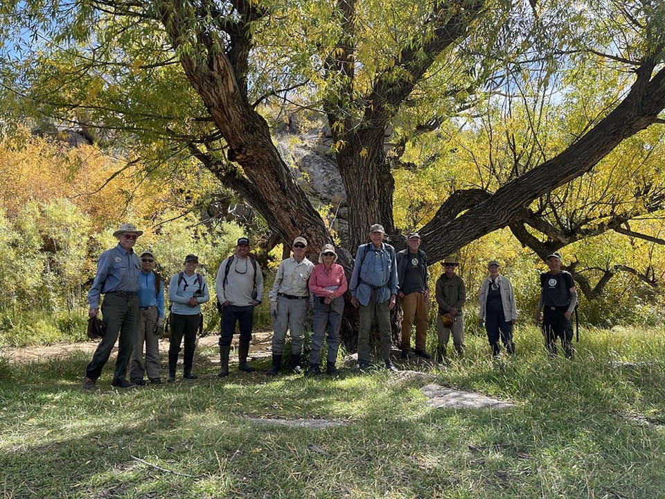
Although trail rerouting and new trails in the Buena Vista Whipple trail system and Fourmile have been underway for several years, 2017 was a milestone which saw several volunteer-driven projects completed. Friends of Fourmile has been very involved in planning, design and ultimately the hard workday labor to bring this about. With strong leadership from the BV town staff and a new coalition called BV Trails, the BLM approved several miles to be added to the Whipple system, which is now under construction under supervision from the Colorado Mountain Club. A longer-term project to create some 12 new miles of hiking and biking trails and 6 miles of motorized singletrack has been created with community support and submitted to the BLM.
Latest GARNA News
In this episode, we sit down at a beaver lodge with local author Ben Goldfarb, and his dog, Kit, to gab about beavers, mule deer, road kill and more!...
The GARNA volunteer chapter, Friends of Fourmile, has recently been working with the BLM and National Forest Foundation to improve management of...
GARNA Renews the Brett Beasley Memorial Scholarship Local students pursuing careers in outdoor recreation and natural resource management have a...