Chapter Highlights 2014 through Spring 2016
Portfolio of Friends of Fourmile activities in 2014, 2015 and early 2016
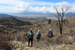
GARNA Guided hikes in Fourmile
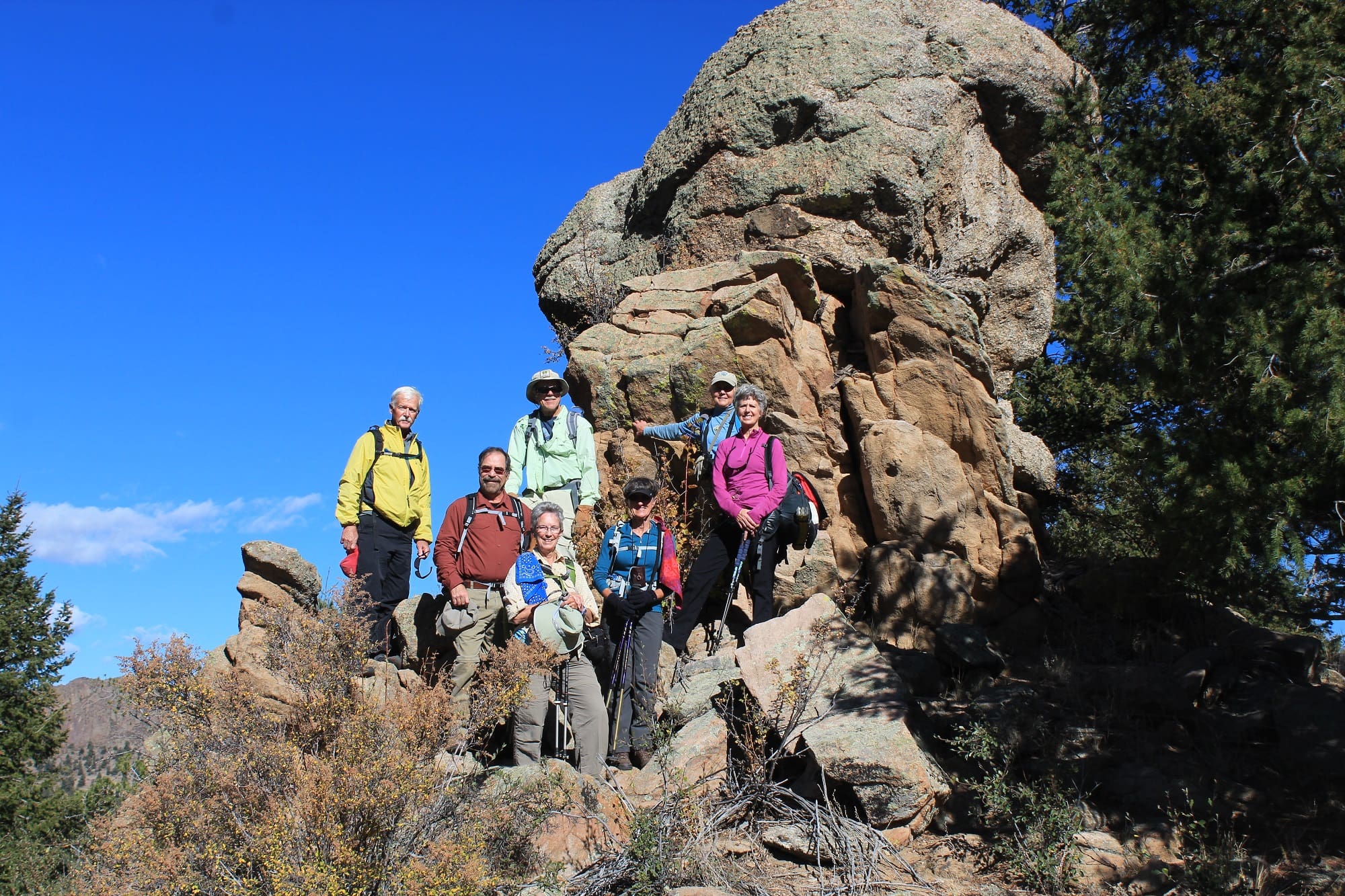
Continuing a long tradition, Friends of Fourmile organized and led hikes to introduce GARNA members and others to favorite on- and off-trail destinations. Part fun, part natural history and part an education to the stewardship and balanced recreational use mission of the Chapter.
Memorial Day Surveys and Joint Patrols
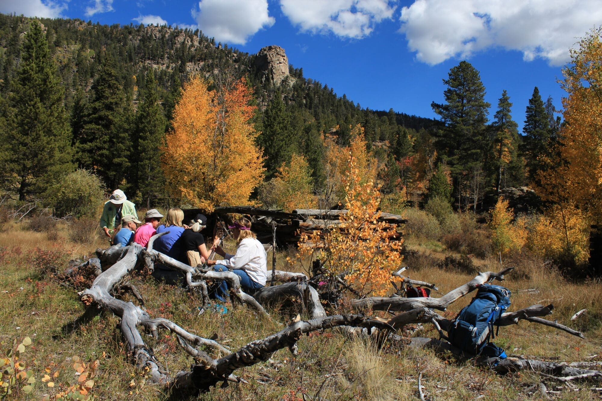
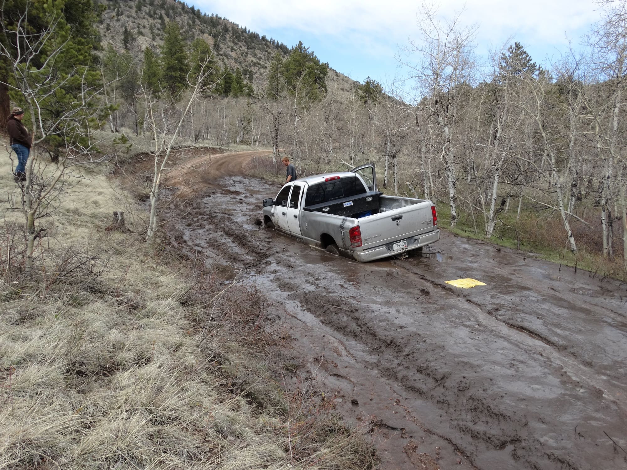
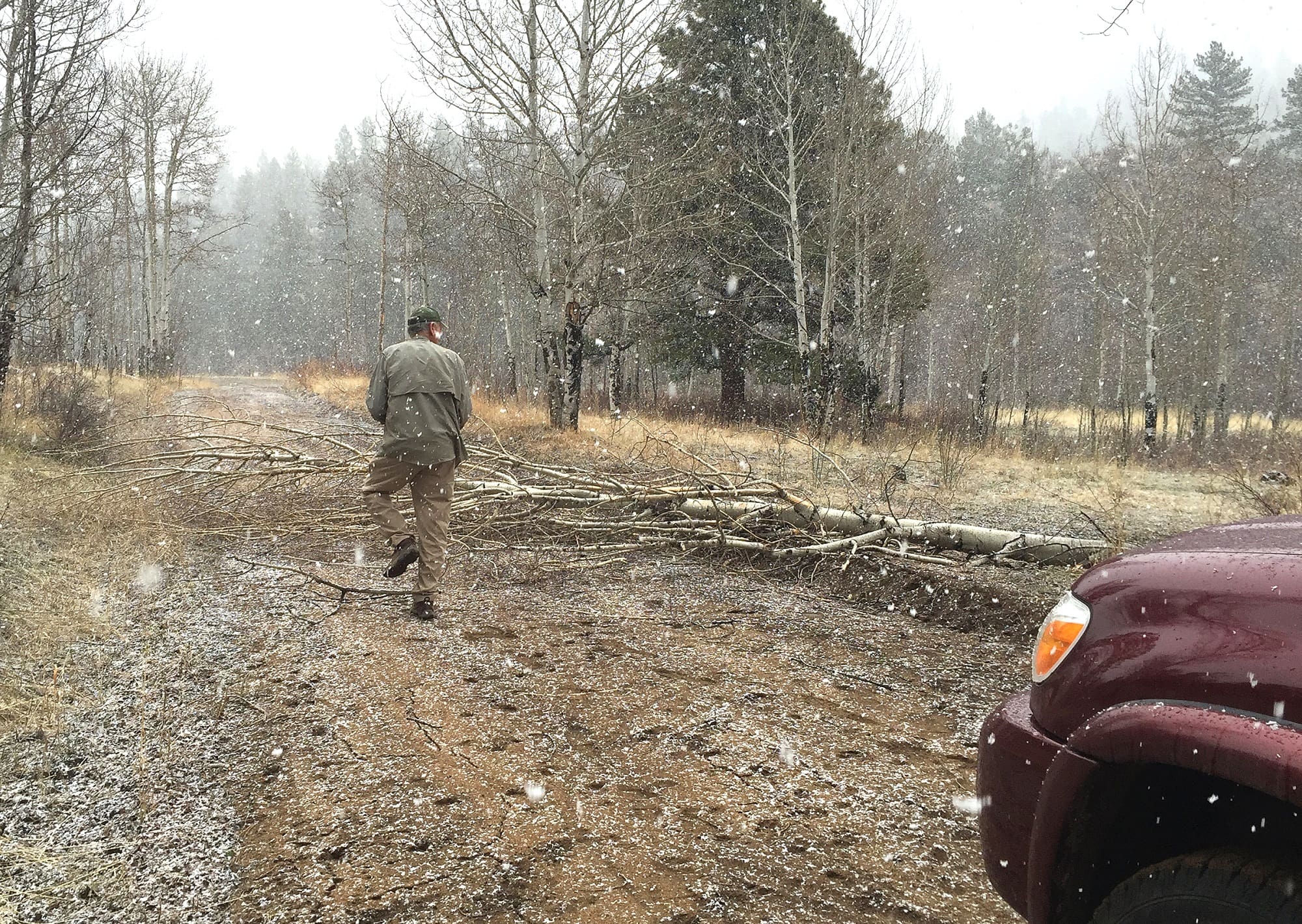
Since 2003 Friends of Fourmile has joined Salida District USFS and BLM in an intense Memorial Day patrol of the Fourmile road system. Since 2009 FoF has included an informal visitor use survey that, although not precise, documents trends in numbers and impacts of users. Combining 2009-1015 results with pre-2009 FS and BLM data, these surveys indicate large increases in all user types, particularly ATV and motorcycle use on heaviest use weekends like Memorial and Labor Day. Although most users are very respectful of signs and regulations, peak use weekends typically result in expansion of dispersed camping sites, and in OHV crowding along roads which may discourage use by hikers, mountainbikers and standard 4×4 visitors. The 2014 survey was typical of Memorial Days over past years although it didn’t show a marked increase over 2013. The survey of 2015 recorded atypically low numbers, reflecting an extended period of wet weather which kept people away. For those who did come, examples of resource damage and difficult camping experiences were noted – see below.
Proposals for additional motorized and non-motorized trails
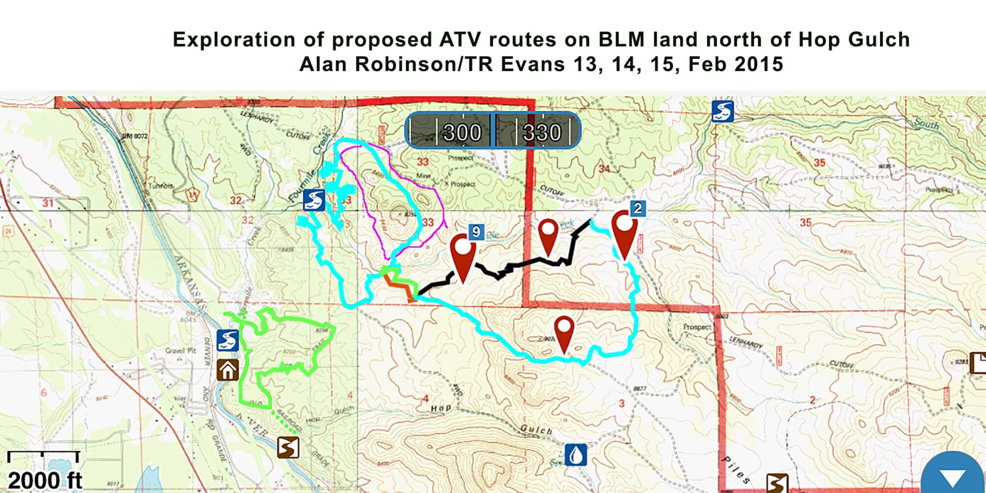
In fall 2015 the BLM, responding to requests from local mountain bike and OHV groups, brought out for public comment proposals for new trail development on the BLM portion of Fourmile (BLM lands constitute about 30% of the 100,000ac jointly-managed Fourmile, entirely on the area’s western boundary nearest Buena Vista; Forest Service, state and private lands make up the balance.) Before the BLM’s draft came out, FoF met with the clubs to provide its perspective on balancing new trails with resource protection and existing use patterns. Chapter members put in many hours in the field to better understand the proposals, which in some cases would cross lands currently without trails and with little recreational use. This led FoF to provide comments during the public review, recommending acceptance of some trails, modification of others, and opposing some which would compromise wildlife habitat or traverse undeveloped spaces. The extent of public comment opposing some routes caused BLM to slow down its process and concentrate on less controversial proposals in areas where there is already trail development, and on relatively short reroutes.
Reroutes of existing bicycle trails
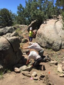
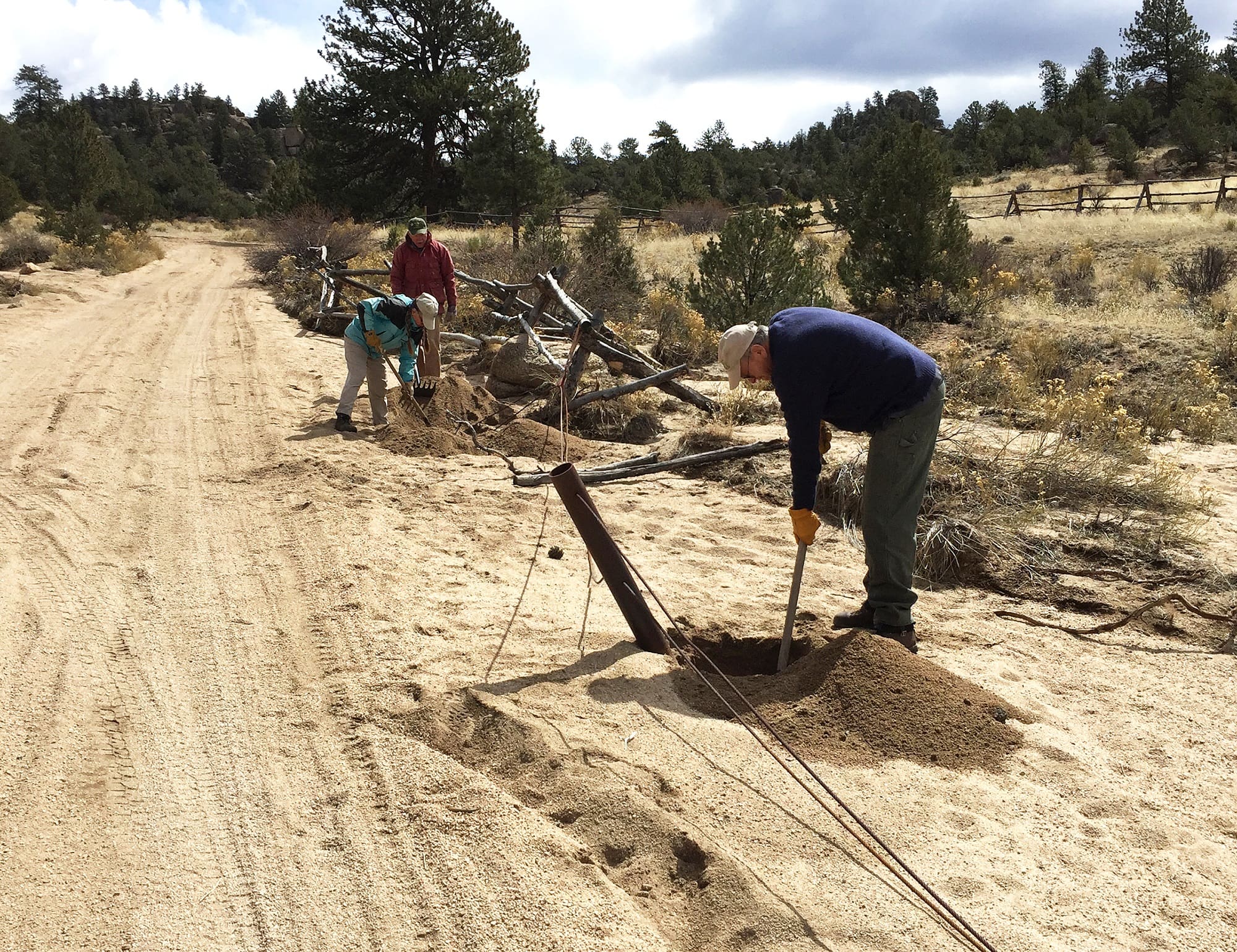
In the summer seasons of both 2014 and 2015 the local bike Club Ark Valley Velo worked closely with BLM to design and construct short reroutes of the 30-year old Midland Bike Trail on BLM lands. Since FoF has been a steward of the “MBT” for more than a decade, some of our members helped in design as well as construction. Several additional reroutes remain to be done in 2016 and are already scheduled.
Ark Valley Velo, FoF and community volunteers contributed hundreds of hours to complete more than 2000 feet of rerouted trail on the Midland Bike Trail. The objective of rerouting is to avoid erosion, make the trail more sustainable and reduce sections rated as difficult to more intermediate levels, consistent with the intended intermediate classification of the MBT.
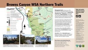
Browns Canyon National Monument-establishment and interpretive signs
Since the northern third of the newly-designated Browns Canyon National Monument lies within the Fourmile Travel Management Area, from its very beginnings in 2003 FoF has had a direct and agency-appreciated role in monitoring and providing information to visitors. Over those years FoF contributed background information and photographs to local officials, Monument proponents and Congressional representatives, as educated observers, not as lobbyists. This was focused on remote interior sections of the proposed Monument that even agency staff were not familiar with.
As one part of its efforts, FoF members, working with the Friends of Browns Canyon and the BLM, provided design, fabrication and installation of two interpretive panels at the Ruby Mountain Trailhead serving the north end of the new Monument.
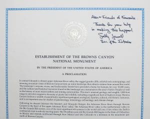
In recognition the Friends of Fourmile’s contribution to educating the public, local elected officials and the President’s Office on the resources in the Browns Canyon area, Secretary of the Interior Sally Jewell presented the Chapter with a Presidential-signed copy of the January, 2016 Proclamation.
Davis Meadow Trail Projects and Adoption
Although FoF has been involved in rerouting, monitoring and maintaining the Davis Meadow Trail in the northern section of Fourmile since 2004, in 2015 the Chapter completed a formal Trail Adoption agreement with the USFS Salida District. Now it’s official!
Two separate Volunteers for Outdoor Colorado projects (2004, 2006) facilitated by the USFS and FoF completed highly professional and scenic reroutes of the western approach of the Davis Meadow Trail.
Collaboration with Buena Vista’s Town Trail System
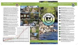
Because Buena Vista and the BLM share responsibility for the Whipple Trail System across the Arkansas from BV, the town’s trail system technically includes the Whipple. FoF, and particularly volunteer graphic designer Kathy McCoy, worked with the Town in 2015 and 2016 to publish a comprehensive Buena Vista Trails, Parks and Recreation brochure. Material from the FoF’s own long-standing Whipple Trail brochure has now been incorporated.
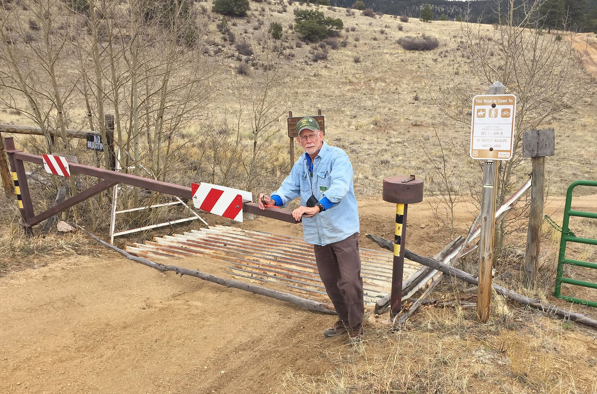
“Routine” tasks helping to monitor and maintain the area
Upcoming 2016 season activities…
- Orientation tour for new Salida District Ranger Jim Pitts
- A Fourmile-focused AHRA/GARNA CleanUp GreenUp day
- Memorial Day patrol and survey
- Continued work on Midland Bike Trail reroutes
- Printing and installing updated 4’x4’ kiosk maps at all entry points
- Replacement of vandalized and faded system route signs and MBT posts
- Assessment/mapping of non-system roads and trails which have appeared in recent years
Special Thank You to local contributors!
A number of local businesses and individuals generously responded with donations to the 2015 Friends of Fourmile Publication Fund. The chapter undertook this campaign, netting over $1,500 to top up contributions from the Salida Ranger District of San Isabel National Forest and the Royal Gorge Field office of the Bureau of Land Management, both GARNA partners for more than 15 years. This allowed us to reprint 14,000 copies each of the revised Fourmile and Midland Bike Trail brochures and 3,000 copies of the Whipple Trail brochure. It will also cover reprinting 15 4’x4’ maps installed at all eight entry points.
Thanks to:
[table id=6 /]
Each contributor – all of whom benefit from the proximity of the well-managed Fourmile area to their commercial businesses or clubs – received an individualized version of the poster below, which they may choose to display. Please consider giving them a thumbs up the next time you drop by!
